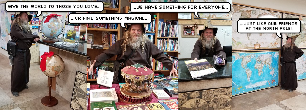
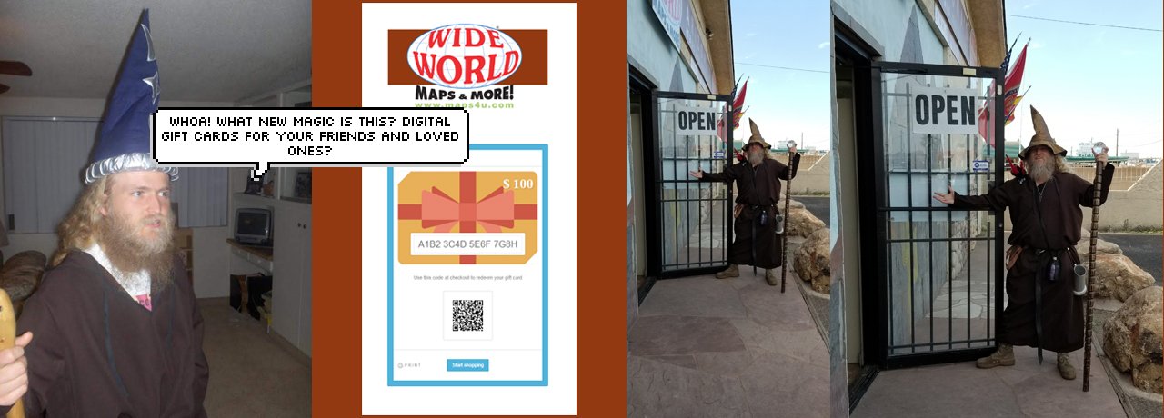
Welcome to Wide World Maps & MORE!
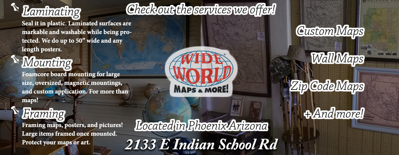
Wide World Maps & MORE! is an Arizona-based map company with design, production, wholesale, and retail activities. It has three stores in Arizona.
Can't find what you're looking for? Wide World Maps & MORE! stocks over 30,000 products and special order items; if we don't have it listed online there is an excellent chance we have it in our warehouse or we can find it for you. To inquire Contact Us Online, call us toll free at 1(800) 279-7654, or use our Product Request Form.
Notice: Effective June 01, 2018 the Tempe Mini-Store inside LowerGear no longer stocks USGS topo maps. Please visit or contact both Phoenix locations for these maps.