R.I.P. Robert Molner, founder of Wide World of Maps, Inc.
Cane Springs Mtn 7.5' AZ 2004 [Map] United States Geological Survey
United States Department of the Interior
$ 20.95 $ 12.95
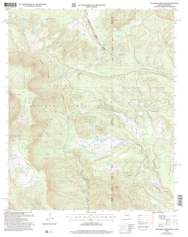
Escudilla Mountain 7.5' 1991 [Map] United States Geological Survey
$ 20.95 $ 14.95
Escudilla Mountain, AZ-NM [Map] United States Geological Survey
Ebert Mtn 7.5' [Map] United States Geological Survey
Wide World Maps & MORE!
$ 9.95
Eagletail Mountains West 7.5' [Map] United States Geological Survey
$ 12.95
Eagletail Mountains East,ÊAZÊ7.5' PE 1990 [Map] United States Geological Survey
Double Buttes 7.5' [Map] United States Geological Survey
Campo Bonito 7.5' AZ 1948 PR 1972 [Map] United States Geological Survey
Campo Bonito 7.5' AZ 1996 [Map] United States Geological Survey
Dog Point, AZ 7.5'×7.5' PE 1988 [Map] United States Geological Survey
Dix Creek 7.5' [Map] United States Geological Survey
Desert View, AZÊ7.5' 1988 [Map] United States Geological Survey
GRANDVIEW POINT NE [Map] United States Geological Survey
$ 20.95 $ 9.95
De Motte Park, AZ 7.5' PE 1988 [Map] United States Geological Survey
Day Spring, AZÊ7.5' 1998 [Map] United States Geological Survey
Davenport Hill, AZ 1989 (7.5'×7.5' Topographic Quadrangle) [Map] United States Geological Survey
$ 20.95 $ 15.95
Daggs Tank 7.5' UST [Map] United States Geological Survey
Dagger Peak, Arizona 1986 (7.5'×7.5' Topographic Quadrangle) [Map] United States Geological Survey
$ 20.95
Dagger Peak, Arizona 2004 (7.5'×7.5' Topographic Quadrangle) [Map] United States Geological Survey


![Eagletail Mountains West 7.5' [Map] United States Geological Survey - Wide World Maps & MORE!](http://maps4u.com/cdn/shop/files/2247_large.jpg?v=1744301628)
![Eagletail Mountains East, AZ 7.5' PE 1990 [Map] [Jan 01, 2017] United States Geological Survey - Wide World Maps & MORE! - Map - Wide World Maps & MORE! - Wide World Maps & MORE!](http://maps4u.com/cdn/shop/products/41lK0R0mDZL_8d4c3f0e-cc4f-40f7-8a04-2451168aa4bd_large.jpg?v=1744301629)


![Dog Point, AZ 7.5'×7.5' PE 1988 [Map] [Jan 01, 2017] United States Geological Survey - Wide World Maps & MORE! - Map - Wide World Maps & MORE! - Wide World Maps & MORE!](http://maps4u.com/cdn/shop/products/2238_large.jpg?v=1744301633)

![Desert View, AZ?7.5' 1988 [Map] [Jan 01, 2017] United States Geological Survey - Wide World Maps & MORE! - - Wide World Maps & MORE! - Wide World Maps & MORE!](http://maps4u.com/cdn/shop/products/41lK0R0mDZL_3d5cc827-d455-4bb5-a195-905773eafcea_large.jpg?v=1744301635)


![Dagger Peak, Arizona 1986 (7.5'×7.5' Topographic Quadrangle) [Map] United States Geological Survey - Wide World Maps & MORE!](http://maps4u.com/cdn/shop/files/2225.1986ed_large.jpg?v=1744301643)
![Dagger Peak, Arizona 2004 (7.5'×7.5' Topographic Quadrangle) [Map] United States Geological Survey - Wide World Maps & MORE!](http://maps4u.com/cdn/shop/files/2225_large.jpg?v=1744301644)