R.I.P. Robert Molner, founder of Wide World of Maps, Inc.
Cart 0
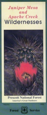
Apache Creek & Juniper Mesa Wilderness areas, 1995 (SuDoc A 13.28:P 92/2) - Wide World Maps & MORE! - Map - United States Department of Agriculture - Wide World Maps & MORE!

United States Department of Agriculture

1995 Apache Creek & Juniper Mesa Wilderness areas, 1995 (SuDoc A 13.28:P 92/2)

$ 29.95 $ 44.95

Juniper Mesa Wilderness is situated in the Juniper Mountains of central Arizona in Yavapai County. It was designated as wilderness in 1984 through the Arizona Wilderness Act. Topographically, the mesa consists of an east-west escarpment breaking into steep canyons and rolling hills to the north and dropping abruptly to the south. Elevations range from 5,560 to 7,050 feet. Sedimentary and intrusive rocks typify the geology of the wilderness. Apache Creek Wilderness lies at the northern end of the Santa Maria Mountains of central Arizona in Yavapai County. The wilderness is 32 - 36 miles northwest of Prescott, Arizona; encompasses about 5,628 acres; and was designated wilderness in 1984 through the Arizona Wilderness Act. The elevation in the wilderness ranges from a low of 5,280 feet to a high of 6,973 feet. Granite Knob is the primary landmark within the wilderness.

  • Two-sided, self-cover, plastic folded map 
40412.

Share this Product


More from this collection