United States Department of the Interior
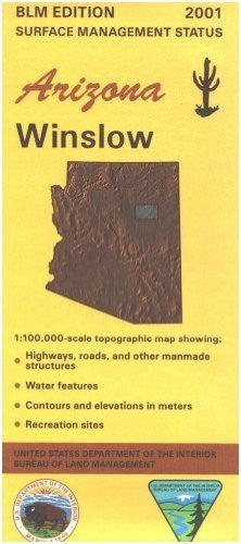
Winslow, Arizona 1:100,000-Scale Topographic Map (60 × 30 Minute Series: Surface Management Status)
$ 12.95
$ 15.95
- Applies to: Arizona.
- Differentiates between public and private land, and also among the various agencies who manage the public lands.
- Much of the area is incorporated into the Navajo Nation.
- The rest is state land with some scattered BLM parcels.
- Map shows roads, and topographic detail.
- OHV driving, backcountry, and primitive camping possible.
- Visit Homolovi Ruins State Park near Winslow.
- Map is useful for AZ Hunting Units 4B, and 5A.
- Scale 1:100,000.
- 2001
- One-sided, self-cover, paper/non-laminated folded map
- Arizona Hunting Unit 5A
- Arizona Hunting Unit 4B
- Arizona Hunting Unit 2A
- Arizona Hunting Unit 11
- scale approximately 3/4"= 1 mile (1:100,000 metric scale)
- surface management (land ownership) shown in color
- topographic info (contour interval 50 meters or about 150 feet)
- spot elevations
- township and range
- water features
- highways, roads, and trails
- township and range
- BLM maps cover entire state; each map area covers about 50 × 30 miles (60×30 minutes)
- metric conversion tables
- mineral management version available for some maps