National Forest Service
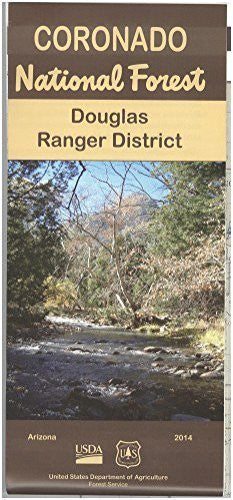
Coronado National Forest: Douglas Ranger District
$ 28.95
$ 44.95
Forest Service map displays trail and road information, important visitor tips, Forest Service facilities, campgrounds and trail heads, and more. Map coverage includes the Dragoon, Peloncillo and Chiricahua moutains, Cave Creek Recreation Area, Peloncillo Wilderness Study Area,the Chiricahua National Monument, and the San Pedro Riparian National Conservation Area. A great map for scenic driving through the forest lands and mountains. Enjoy camping, picnicking, hiking, horse riding, scenic viewing, birdwatching, wildlife viewing, and fishing. Map is useful for OHV use, and AZ hunting Units 29, 30A, and 30B. No topographic detail shown. Printed on tear-proof, water resistant material.
- Applies Arizona; New Mexico.
- 2014.
- Two-sided, self-cover, plastic folded map.