Wide World Maps & MORE!
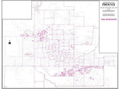
Metropolitan Phoenix Arterial and Collector Streets Tax Assessor Wall Map (Paper, Non-Laminated) [Map] Phoenix Mapping Service
View the entire metropolitan area on a single sheet that clearly shows the latest tax assessor boundaries. The map also displays major streets (arterial) and intermediate streets (collector), locates communities, block numbers, rivers, canals, and railways. Invaluable for business applications, this black and white map indicates tax assessor boundaries with red grid lines and numbers. It is popular for general reference and for locating businesses which are normally found on the arterial and collector streets. The grid corresponds to the index in Phoenix Mapping Service's Phoenix "Yellow1" Street Atlas and other Phoenix map products for easy cross-reference. This is a convenient and useful at-a-glance reference for real estate agents or any professional who uses the county tax assessor information.
The map is a convenient and useful at-a-glance reference ready for highlighters, sticker dots or arrows, or graphic tape.
Paper, one-sided wall map.
Size: 47"x36"


