United States Department of the Interior
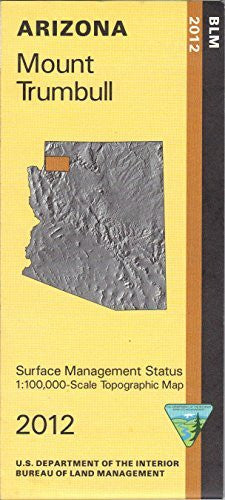
Mount Trumbull, Arizona (Surface Management Status 1:100,000-Scale Topographic Map) (2012-05-03) [Map] Bureau of Land Management
$ 15.95
Scale: 1:100,000
Content: Surface Management; Contours
Latitude: 36° 0′ 0″ N to 36° 30′ 0″ N
Longitude: 114° 0′ 0″ W to 113° 0′ 0″ W
Media: Paper
Format: Folded
Boundary Type: Quadrangle
Horizontal Datum: North American 1983
Vertical Datum: National Geodetic 1929
Two Sided: No
Plates: 1
Pieces: 1
Languages: English 966-2012ed