Wide World Maps & MORE!
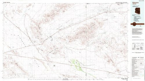
Salome, Arizona 1:100,000-scale Metric Topographic Map [Map] United States Geological Survey
Latitude: 33° 30′ 0″ N to 34° 0′ 0″ N
Longitude: 114° 0′ 0″ W to 113° 0′ 0″ W
Compiled from USGS 1:62,500-scale topographic maps dated 1961-1962. Planimetry revised from aerial photographs taken 1980 and other source data. Revised information not field checked. Map edited 1984.
Projection and 10,000-meter grid, zone 12, Universal Transverse Mercator
25,000-foot grid ticks based on Arizona coordinate system, west and east zones.
1927 North American Datum. To place on the predicted North American Datum 1983 move the projection lines 2 meters south and 70 meters east.
There may be private inholdings within the boundaries of the National or State reservations shown on this map.
Contour Interval 50 Meters
National Geodetic Vertical Datum of 1929
This map complies with national map accuracy standards.
Paper, self-cover, one-sided folding map.
Size:
* Folded = 4.125" x 8.125"
* Unfolded = 43.75" x 24"


![Arizona Road and Recreation Atlas [Paperback] Benchmark Maps - Wide World Maps & MORE!](http://maps4u.com/cdn/shop/products/81WodCcaVHL_large.jpg?v=1742587807)

