Wide World Maps & MORE!
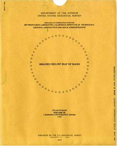
Shaded Relief Map of Mars (Atlas of Mars, I-810) (Atlas of Mars, I-810) [Map] J. L. Inge
$ 28.95
The greyscale shaded relief map of Mars uses Mariner 9 image data on a Mercator projection, with insets of both polar regions in Polar Stereographic projection. The map portrays topography only, with no albedo variations except for the delineations of both polar ice caps. Shaded relief is portrayed with a uniform westerly illumination.
Projections: Mercator and Polar Stereographic.
Scales: 1:25M at 0º Latitude and 1:12,549,000 at 60º Latitude. 14065
Projections: Mercator and Polar Stereographic.
Scales: 1:25M at 0º Latitude and 1:12,549,000 at 60º Latitude. 14065


