R.I.P. Robert Molner, founder of Wide World of Maps, Inc.
Cart 0
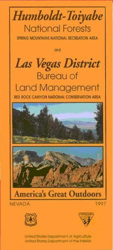
Spring Mountains/Red Rock Canyon/Las Vegas District Map (Humboldt-Toiyabe National Forests and BLM Las Vegas District) - Wide World Maps & MORE! - Book - Wide World Maps & MORE! - Wide World Maps & MORE!

United States Department of Agriculture

Spring Mountains/Red Rock Canyon/Las Vegas District Map (Humboldt-Toiyabe National Forests and BLM Las Vegas District)

$ 39.95 $ 44.95

Official Forest Service map of popular recreation areas near Las Vegas. Revised 1997. Size: 27×40-inches. Full title: 'Humboldt-Toiyabe National Forests, Spring Mountains National Recreation Area, and Las Vegas District BLM Red Rock Canyon National Conservation Area'. Includes contour lines for elevation. Insets for: Kyle Canyon area; Lee Canyon area; Las Vegas Vicinity; Red Rock Canyon Scenic Drive Vicinity; Recreation Site Index; Topo map index. Includes full sheet of photos and general visitor info on reverse. Folded multicolor map. Scale 1:126,720 (1 inch = 2 miles). Printed on both sides. Folded size: 4×9-in. Official recreation and land-use map issued by the National Forest Service. Shows roads, trails, rivers, campgrounds, recreation areas, and land-use boundaries, but no contour lines. Especially useful for the status of back roads.

  • Two-sided, self-cover, paper/non-laminated folded map
40469

Share this Product


More from this collection