![SUPERIOR, AZ?7.5' 2004 [Map] [Jan 01, 2017] United States Geological Survey - Wide World Maps & MORE! - - Wide World Maps & MORE! - Wide World Maps & MORE!](http://maps4u.com/cdn/shop/products/41lK0R0mDZL_2dd84456-8579-4ea1-96a8-cb725b35d7f3_1024x1024.jpg?v=1744301870)
United States Department of the Interior
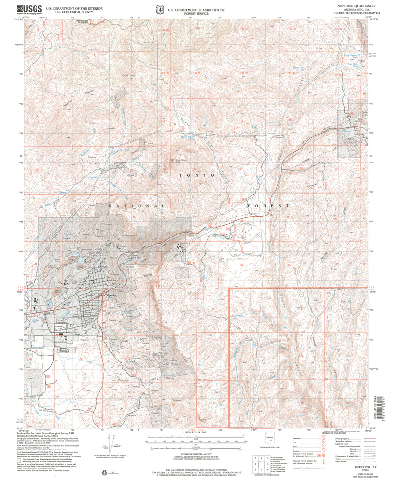
Superior, Arizona 2004 (7.5'×7.5' Topographic Quadrangle) [Map] United States Geological Survey
$ 12.95
$ 20.95
Superior, AZ 2004 USGS 7.5-minute topographic quadrangle map
- Product Details
- Product Number: 41848
- Scale: 1:24,000
- Content: Contours
- Alternate ID: TAZ1407
- ISBN: 978-1-4113-1394-1
- Version Date: 01/01/2004
- Regions: AZ
- Countries: USA
- Latitude: 33° 22' 30" N to 33° 15' 0" N
- Longitude: 111° 07' 30" W to 111° 00' 0" W
- Media: Paper
- Format: Flat
- Historical Reproduction: Yes
- Additional Details
- Description: United States Geological Survey Superior, Arizona Historical Map Reprint 7.5×7.5 Grid 24000-Scale 2004
- Survey Date: 1948
- Print Date: 1981
- Height In Inches: 27.000
- Length In Inches: 21.600
- Boundary Type: Quadrangle
- UTM Grid: Yes
- Horizontal Datum: North American 1983; North American 1927
- Vertical Datum: National Geodetic 1929
- UTM: Zone 12
- Two-Sided: No
- Plates: 1
- Pieces: 1
- Languages: English

![Arizona Road and Recreation Atlas [Paperback] Benchmark Maps - Wide World Maps & MORE!](http://maps4u.com/cdn/shop/products/81WodCcaVHL_large.jpg?v=1742587807)


