


United States Department of the Interior
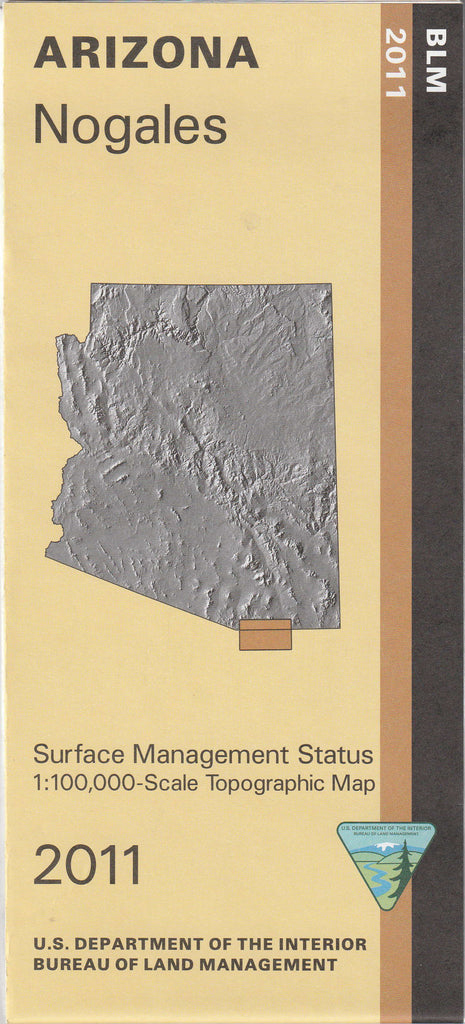
Surface Management Status 1:100,000-Scale Topographic Map of Nogales, Arizona
$ 15.95
$ 20.95
Bureau of Land Management 60 × 30 Minute Topographic Quadrangle showing contours and elevations in meters; highways, roads, and other manmade structures; water features; surface management status; and geographic names.
- Long Name: Nogales, Arizona
- Scale: 1:100,000
- Content: Surface Management; Contours
- Alternate ID: TAZ1016
- ISBN: 978-1-4113-3239-3
- Author: BLM
- Version Date: 2011
- Regions: AZ
- Countries: USA
- Latitude: 31° 0' 0" N to 31° 30' 0" N
- Longitude: 111° 0' 0" W to 110° 0' 0" W
- Media: Paper
- Format: Folded
- Description: Nogales, AZ
- Survey Date: 1990, 2011
- Print Date: 1999, 2011
- Height In Inches: 24.100
- Width In Inches: 41.100
- Boundary Type: Quadrangle
- Two-Sided: No
- Plates: 1
- Pieces: 1
- Languages: English

![Arizona Road and Recreation Atlas [Paperback] Benchmark Maps - Wide World Maps & MORE!](http://maps4u.com/cdn/shop/products/81WodCcaVHL_large.jpg?v=1742587807)


