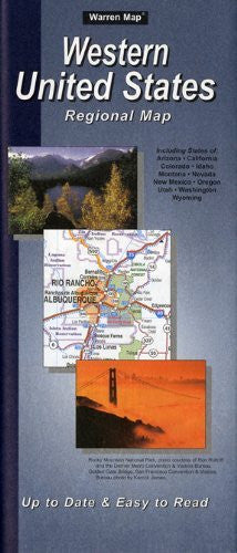
Warren Associates
Western United States Regional Map Paper/Non-Laminated
$ 5.99
Warren Maps Western United States Regional Map is an up-to-date and easy-to-read map of the interstate and highway system for Arizona, California, Colorado, Idaho, Montana, Nevada, New Mexico, Oregon, Utah, Washington, and Wyoming. The map also features a cities and communities index by state. The Southwestern United States map in on the obverse, with insets of San Francisco, CA; Los Angeles, CA; San Diego, CA; Las Vegas, NV; and Phoenix, AZ. The Northwestern United States map in on the reverse, with insets of Seattle, WA; Portland, OR; Salt Lake City, UT; and Denver, CO.
- Two-sided, self-cover, paper/non-laminated folded map.
- Scale:
* Southwestern United States = 1:1,843,200
* Northwestern United States = 1:1,843,200
* San Francisco, CA = 1:3,960
* Los Angeles, CA = 1:3,960
* San Diego, CA = 1:3,960
* Las Vegas, NV = 1:15,840
* Phoenix, AZ = 1:3,960
* Seattle, WA = 1:3,960
* Portland, OR = 1:3,960
* Salt Lake City, UT = 1:3,960
* Denver, CO = 1:3,960 - Size:
* 4" × 9½" folded
* 40" × 27¾" unfolded