R.I.P. Robert Molner, founder of Wide World of Maps, Inc.
HANNAGAN MEADOW, Arizona 1997 (7.5'×7.5' Topographic Quadrangle)
United States Department of the Interior
$ 20.95 $ 9.95
HANKS DRAW 7.5' 1990 [Map] United States Geological Survey
Wide World Maps & MORE!
$ 18.95 $ 12.95
HANKS DRAW, AZ 7.5' 1998 [Map] United States Geological Survey
$ 20.95 $ 12.95
GUNSIGHT POINT [Map] United States Geological Survey
$ 12.95 $ 9.95
Grandview Point, AZ 7.5'×7.5' [Map] United States Geological Survey
$ 12.95
Grand Canyon 7.5' AZ 1988 [Map] United States Geological Survey
GRAMA SPRING [Map] United States Geological Survey
Gentry Mountain 7.5'×7.5' AZ 2004 Map United States Geological Survey
CANYON DAY, AZ 7.5' 1978 [Map] United States Geological Survey
$ 9.95
Fourth of July Butte, AZÊ7.5' PE 1989 [Map] United States Geological Survey
Fortified Peak, AZ 7.5'×7.5' PE 1988 [Map] United States Geological Survey
CANELO PASS 7.5' 1958 [Map] United States Geological Survey
Flatiron Mountain 7.5' [Map] United States Geological Survey
Fishtail Mesa, AZ 7.5'×7.5' PE 1988 [Map] United States Geological Survey
Cane Springs Mtn 7.5' AZ 2004 [Map] United States Geological Survey
Escudilla Mountain 7.5' AZ 1991 United States Geological Survey
$ 20.95 $ 14.95
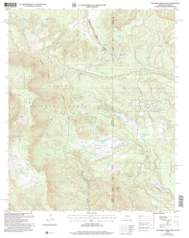
Escudilla Mountain 7.5' AZ-NM 2005 United States Geological Survey
Ebert Mtn 7.5' [Map] United States Geological Survey
Eagletail Mountains West 7.5' AZ Map United States Geological Survey
$ 20.95 $ 15.95
Eagletail Mountains East,ÊAZÊ7.5' PE 1990 Map United States Geological Survey
 As Seen On TV
![HANNAGAN MEADOW 7.5' 1997 [Map] United States Geological Survey - Wide World Maps & MORE!](http://maps4u.com/cdn/shop/files/2300_large.jpg?v=1744301604)


![Fourth of July Butte, AZ?7.5' PE 1989 [Map] [Jan 01, 2017] United States Geological Survey - Wide World Maps & MORE! - - Wide World Maps & MORE! - Wide World Maps & MORE!](http://maps4u.com/cdn/shop/products/41lK0R0mDZL_3120975b-57a0-4d9c-9152-bf7b8fb20d2e_large.jpg?v=1744301617)
![Fortified Peak, AZ 7.5'×7.5' PE 1988 [Map] [Jan 01, 2017] United States Geological Survey - Wide World Maps & MORE! - Map - Wide World Maps & MORE! - Wide World Maps & MORE!](http://maps4u.com/cdn/shop/products/2270_large.jpg?v=1744301618)

![Flatiron Mountain 7.5' [Map] United States Geological Survey - Wide World Maps & MORE!](http://maps4u.com/cdn/shop/files/2266_large.jpg?v=1744301620)
![Fishtail Mesa, AZ 7.5'×7.5' PE 1988 [Map] [Jan 01, 2017] United States Geological Survey - Wide World Maps & MORE! - Map - Wide World Maps & MORE! - Wide World Maps & MORE!](http://maps4u.com/cdn/shop/products/2264_large.jpg?v=1744301622)


![Eagletail Mountains West 7.5' [Map] United States Geological Survey - Wide World Maps & MORE!](http://maps4u.com/cdn/shop/files/2247_large.jpg?v=1744301628)
![Eagletail Mountains East, AZ 7.5' PE 1990 [Map] [Jan 01, 2017] United States Geological Survey - Wide World Maps & MORE! - Map - Wide World Maps & MORE! - Wide World Maps & MORE!](http://maps4u.com/cdn/shop/products/41lK0R0mDZL_8d4c3f0e-cc4f-40f7-8a04-2451168aa4bd_large.jpg?v=1744301629)