MyTopo
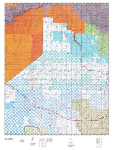
Arizona GMU 10 Hunt Area / Game Management Unit (GMU) Map, Waterproof, Full Color, Topographic, 36 x 48 inches
$ 39.95
Arizona GMU 10, Hunting Unit Map, 36" × 48"
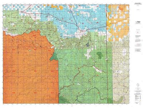
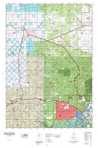
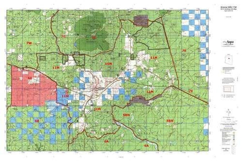
MyTopo Hunt Area / Game Management Unit (GMU) Maps are 1:100,000-scale maps using the Bureau of Land Management Land Status base maps. These maps include public land ownership boundaries, topography, roads, and key terrain features. The selected State hunt unit or game management unit boundary is overlaid on the BLM base.
- New Road Updates: MyTopo GMU maps now contain updated National Forest and public land roads sourced directly from the US Forest Service and other government agencies.
- New Tank and Water Source Locations: Arizona GMU maps show official Arizona Game and Fish water source locations (tanks, reservoirs, and springs).
- This topographic surface management map covers all of AZ Game Managment Unit 10. It has been assembled using USGS and BLM mapping data with a red game management unit boundary overprint. It features surface management data, varying topographic contour intervals, as well as lat/long and UTM grid coordinates.
- Hunting unit map of Arizona Game Management Unit 10 with topographic lines and unit boundaries. This topo map features UTM / MGRS and Latitude/Longitude grids, plus public land ownership. It comes folded on waterproof paper. This map contains the following named places: Aja Ranch, Albers Wash, Anita Station, Antelope Quarries, Antolini Hill, Apex, Arizona Highway Maintenance Yard, Ash Fork, Ash Fork Substation, Audley, Benham Ranch, Benham Snow Play Area, Bill Williams Mountain, Bishop Camp, Bishop Place, Bixler Mountain, Black Mountain, Black Tank Camp, Black Tank Wash, Blue Mountain, Bly Siding, Boucher Creek, Box K Ranch, Boyd Knoll, Bright Angel Wash, Buss Ranch, C Lake, Camp Civitan, Camp Clover Ranger Station, Camp Number Five, Canyon Gateway Recreational Vehicle Park, Castor Temple, Cataract Lake, Cataract Lake Recreation Site, Cataract Pumping Station, Chalender District Ranger Station, Charybdis Butte, Chino Point, Chino Station, Chino Wash, City of Williams, City of Williams Rodeo Grounds, City of Williams Wastewater Treatment Plant, City Reservoir, Coconino, Coconino County Recreation Site, Coconino Siding, Coconino Wash, Confucius Temple, Cope Butte, Corva, Corva Hill, Coxcomb Hill, Crookton, Cruice Siding, Crystal Creek, Cucamonga Junction, D S Ranch, Daze, Deer Lodge, Diana Temple, Double A Knoll, Double A Ranch, Double A Siding, Double O Ranch, Dox Castle, Dragon Creek, Dragon Head, Eagle Nest Mountain, Eremita Mesa, Espee Camp, Evans Butte, Explorers Monument, Fan Island, Ferno Mesa, Field Dam, Fiske Butte, Fitzgerald Hill, Flat Mesa, Flatiron Butte, Flint Creek, Fossil Mountain, Four Hills, Frazier Wells, FY Ranch, Geikie Peak, Goldtrap Ranch, Gonzalez Lake, Grand Canyon - Williams Kampgrounds of America, Grand Canyon Caverns, Grand Canyon National Park, Hat Ranch, Havasupai Division, Havasupai Reservation, Hearst Mountain, Heather Wash, Hermit Creek, Hermits Rest, High School Hill, Holden Lake, Horse Lake, Horse Trap Mesa, Horus Temple, Howard Hill, Howard Lake, Hualapai Division, Hualapai Hilltop, Hualapai Indian Reservation, Hundred and Ninetythree Mile Creek, Hundred and Twenty Mile Creek, Hundred and Twentytwo Mile Creek, Hyde Park, K Four Ranch, Kaibab Estates West, Kaibab Lake, Kaibab Mobile Home Park, Keseha Ranch, KY Hills, Laguna Lake, Little Red Horse Wash, Little Red Lake, Long Mesa, Lower Saginaw Reservoir, Marsh Butte, McKee Point, McLellan Reservoir, Mencius Temple, Milk Creek, Montezuma Lake, Monument Creek, Monument Wash, Mount Burro, Mount Floyd, Mount Huethawali, Mount Spoonhead, Mount Wodo, National Park Service Grand Canyon South Rim Wastewater Treatment Facility, Ninetyfour Mile Creek, Osiris Temple, Padre Reservoir, Pasture Wash Ranger Station, Pica, Pica Camp, Picacho Butte, Pinaveta, Pine Springs Ranch, Point Sublime, Pollux Temple, Potters Hole, Prairie Wash, Pronghorn Ranch, Prospect Point, Quarter Circle X X Ranch, Quivero, Railroad Embankment Reservoir, Rain Tank Wash, Red Dike Pond, Red Hill Ranch, Red Lake, Red Lake Siding, Red Mesa, Redlands Ranch, Reeds Winter Camp, Rim Rock, Robbers Roost, Rock House, Rose Well Camp, Round Mountain, Rowe Well Picnic Area, Royal Arch Creek, Sage Brush Point, Sage Flat Reservoir, Salt Creek, Sand Creek, Santa Cruz Quarry, Santa Fe Reservoir, Sawtooth Peak, Scylla Butte, Section One Well, Seligman, Seligman Compressor Station, Seligman Junction Substation, Seligman Kampgrounds of America, Seligman Substation, Sereno, Sereno Siding, Sereno Spring, Shinumo Camp, Shinumo Creek, Shiva Temple, Signal Hill, Smith Lake, Snyder Knoll, South Grand Canyon Sanitation District, Squaw Peak, Steel Crater, Steel Dam Reservoir, Stone Lake, Stonys Cabin, Stud Horse Butte, Sugarloaf Peak, Supai, Supai Camp, Three Sisters, Threemile Lake, Tin House, Topocoba Hilltop, Toroweap Lake, Tower of Babylon, Tower of Set, Trinity Mountain, Tule Lake, Twenty Pine Burn, Twin Buttes, Tyndall Dome, Upper Saginaw Reservoir, Valle Siding, Valve House, Vesta Temple, Throne, Wallace Butte, Watson Lake, Whites Butte, Willaha, Williams, Williams Country Club, Williams District Ranger Station, Williams Division, Williams Little League Park and Municipal Swimming Pool, Williams Municipal Golf Course, Williams Ski Area, Williams Ski Run, Woodin, Wounded Ranger Knoll, and Yampai


