MyTopo
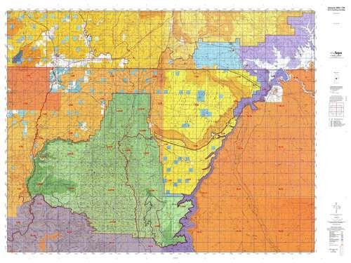
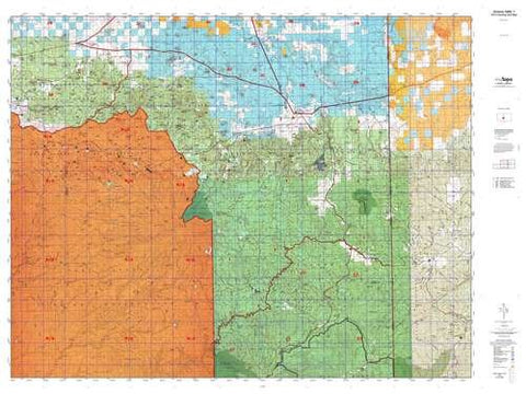
Arizona 12B Hunt Area / Game Management Unit (GMU) Map
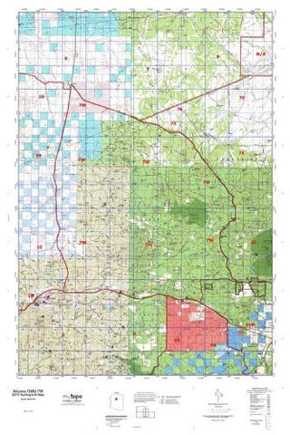
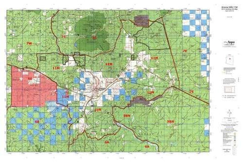
MyTopo Hunt Area / Game Management Unit (GMU) Maps are 1:100,000-scale maps using the Bureau of Land Management land status base maps. These maps include public land ownership boundaries, topography, roads, and key terrain features. The selected state hunt unit or game management unit boundary is overlaid on the BLM base.
- Species: All.
- Map Size: 48" × 36"
New Road Updates: MyTopo GMU maps now contain updated 2013 National Forest and public land roads sourced directly from the US Forest Service and other government agencies.
New Tank and Water Source Locations: Arizona GMU maps show official Arizona Game and Fish water source locations (tanks, reservoirs, and springs)
Hunting unit map of Arizona Game Management Unit 12B with topographic lines and unit boundaries. This topo map features UTM / MGRS and Latitude / Longitude grids, plus public land ownership. It comes folded on waterproof paper.
- This map contains the following named places: Ah Hol Sah, Anderson Ranch, Arizona Inspection Station, Arizona State Inspection Station, Bean Hole Ranch, Bear Lake, Bentonite Reservoir, Big Ridge Apron, Big Saddle Camp, Big Sheep Corral, Big Springs, Big Springs Ranger Station, Big Water, Billy Goat Knolls, Bitter Springs, Black Spot Reservoir, Block Mesas, Blue Clay Reservoir, Blue Knolls, Bodaway Mesa, Booze Crossing, Boysag Point, Bridger Point, Bridgers Knoll, Buck Lake, Buckskin Mountain, Buckskin Mountains, Buffalo Ranch, Bull Points, Bulrush Point, Burnt Canyon Point, Burro Apron, Bush Head, Buttons Ranch, Cane Cairn, Cane Corral, Castle Lake, Cedar Knoll, Cedar Mountain, Cedar Ridge, Cedar Ridge Reservoir, Cedar Tree Hills, Chair Crossing, Chapman's Mobile Home Resort, Chatterly Ranch, Chikapanagi Mesa, Cinyon Otah, Cliff Dwellers Lodge, Cocks Comb, Cogswell Butte, Cooper Mine Trading Post, Corner Rock Reservoir, Corral Lake, Cottonwood Point, Cougar Lake, Cowboy Butte, Coyote Buttes, Cram Ranch, Crane Lake, Crazy Jug Point, Crescent Butte, Cummings Mesa, Curve Reservoir, Cutler Pockets Wildlife Apron, Dead Horse Mesa, Deer Lake, DeMotte Campground, Dishopan Hill, Dog Lake, Dry Park Lakes, Dry Park Lookout, Eagle Nest Reservoir, East Lake, East Rim Viewpoint, East Side Apron, Echo Peak, Ed Lamb Point, Emmett Hill, Fin Little Point, First Reservoir, Fishtail Mesa, Five Mile Point, Fivemile Mountain, Flag Point, Flat Top, Flat Tops, Fracas Lake, Franks Lake, Franks Reservoir, Fredonia, Glen Canyon Generating Station, Glen Canyon Substation, Glenn Lakes, Government Reservoir, Great Thumb Mesa, Great Thumb Point, Greenehaven, Haycock Point, Hidden Lake, Hidden Lake Apron, Horseshoe Reservoir, House Rock, Indian Dance Hall, Indian Hollow Campground, Indian Lake, Indian Moccasin, Jacob Canyon Apron, Jacob Lake, Jacob Lake Campground, Jacob Reservoir, Jacobs Pool, Jarvis Ranch, Joes Mud Hole, Joes Ranch, Joes Reservoir, Johnson Lakes, Johnson Point, Johnson Reservoir, Johnson Store Butte, Jumpup Divide, Kaibab, Kaibab Lodge, Kanab, Kane Corral, Kane Ranch, Ladder Reservoir, Lake Mary, Lambs Lake, Leach Reservoir, Little Cedar Knoll, Little Knoll, Little Mountain, Little Reservoir, Loco Point, Lone Tree Reservoir, Lookout Lakes, Lower Reservoir, Magnum Springs Ranger Station, Mangum Camp, Manson Mesa, Marble Canyon, Marble Viewpoint, Maries Reservoir, Meeks Reservoir, Middle Knoll, Middle Reservoir, Middle Warm Creek Point, Mile-and-a-half Lake, Monument Knoll, Moquitch Camp, Mud Lake, Muggins Reservoir, Murrays Lake, Mustard Point, Nagles Crossing, Navajo Springs Maintenance Yard, North Big Saddle Point, North Canyon Point, North Red Hill, North Rim Entrance Station, Oak Corral, Oley Knolls, Olo Mesa, One Mile, Oquer Lake, Page, Page Lake Powell Mobile Home Village, Page Maintenance Yard, Page Substation, Pasture Point, Paw Hole, Petal Hills, Pine Flat Camp, Pine Reservoir, Powells Monument, Pratt Reservoir, Prickly Pear Point, Quaking Aspen, Racetrack Knoll, Red Hill, Red Knoll, Red Knolls, Red Mesa, Red Mesa Reservoir, Rim View Trailer Village, Rock Canyon Reservoir, Romana Bench, Ryan, Salt Reservoir, Savage Point, Seaman Point, Second Reservoir, Shearing Corral Reservoir, Shearing Shed Reservoir, Shinumo Altar, Signature Rock, Sixmile Village, Slide Point, Snipe Lake, South Big Saddle Point, South Cutler Pockets Corral, South Oak Apron, South Red Hill, Spooks Knoll Reservoir, Steamboat Mountain, Stock Pond, Stud Horse Point, Summit Valley Wildlife Apron, Sunshine Point, Swamp Lake, Telephone Hill, The Big Knoll, Thompson Point, Three Lakes, Three Lakes Corral, Top Rock, Two Mile, Two Mile Reservoir, Twomile Corrals, V T Hill, V T Lake, Vermilion Cliffs Lodge, Wahweap, Wahweap Lodge and Marina, Wall Lake, Warm Springs Lake, Weed Reservoir, West Lake, Wet Weather Seep, White Knolls, White Mesa, Wildhorse Park, Willie Apron, Wolf Knoll, and Yellow Door Corral


