R.I.P. Robert Molner, founder of Wide World of Maps, Inc.
Gisela, Arizona 7.5'×7.5' 2004 [Map] United States Geological Survey
United States Department of the Interior
$ 20.95 $ 12.95
GARLAND PRAIRIE, AZ 7.5' 1963 PI 1974 [Map] United States Geological Survey
$ 20.95 $ 15.95
Fort McDowell, AZ 7.5' UST 2014 [Map] United States Geological Survey
Wide World Maps & MORE!
Flores 7.5' AZ 1969 [Map] United States Geological Survey
FLORENCE NE [Map] United States Geological Survey
$ 12.95 $ 9.95
Fife Peak, AZ 7.5' 1974 [Map] United States Geological Survey
$ 9.95
Fairbank, AZÊ7.5' 1952 [Map] United States Geological Survey
$ 20.95 $ 18.00
Estler Peak 7.5' [Map] United States Geological Survey
$ 20.95 $ 9.95
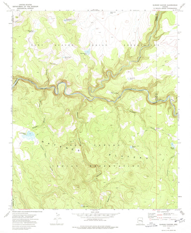
ELWOOD CANYON, Arizona 1976 (7.5'×7.5' Topographic Quadrangle)
Eager 7.5' [Map] United States Geological Survey
Dutton Hill, Arizona 1980 (7.5'×7.5' Topographic Quadrangle)
Dry Lake Northwest 7.5' [Map] United States Geological Survey
Dean Peak 7.5' 1968 PR 1980 [Map] United States Geological Survey
Date 7.5' AZ 1969 Map United States Geological Survey
Cypress Butte 7.5' AZ [Map] United States Geological Survey
Cooks Mesa, AZÊ7.5' 1967 [Map] United States Geological Survey
Cooks Mesa, Arizona (7.5'×7.5' Topographic Quadrangle)
Congress Southwest, AZ 7.5' 1969 [Map] United States Geological Survey
Clear Creek Reservoir, AZÊ7.5' 1970 [Map] United States Geological Survey
Citrus Valley West 7.5' 1973 [Map] United States Geological Survey
![GARLAND PRAIRIE, AZ 7.5' 1963 PI 1974 [Map] United States Geological Survey - Wide World Maps & MORE!](//maps4u.com/cdn/shop/files/533_large.jpg?v=1748385406)
 As Seen On TV

![GARLAND PRAIRIE, AZ 7.5' 1963 PI 1974 [Map] United States Geological Survey - Wide World Maps & MORE!](http://maps4u.com/cdn/shop/files/533_large.jpg?v=1748385406)


![Eager 7.5' [Map] United States Geological Survey - Wide World Maps & MORE!](http://maps4u.com/cdn/shop/files/448_large.jpg?v=1744301366)

![Dry Lake Northwest 7.5' [Map] United States Geological Survey - Wide World Maps & MORE!](http://maps4u.com/cdn/shop/files/436_large.jpg?v=1744301376)
![Dean Peak 7.5' 1968 PR 1980 [Map] United States Geological Survey - Wide World Maps & MORE!](http://maps4u.com/cdn/shop/files/399_large.jpg?v=1744301391)


![Congress Southwest, AZ 7.5' 1969 [Map] United States Geological Survey - Wide World Maps & MORE!](http://maps4u.com/cdn/shop/files/340_large.jpg?v=1744301440)

