Wide World Maps & MORE!
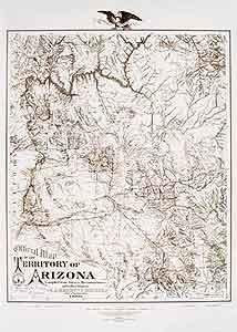
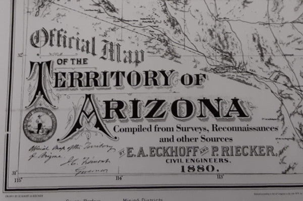
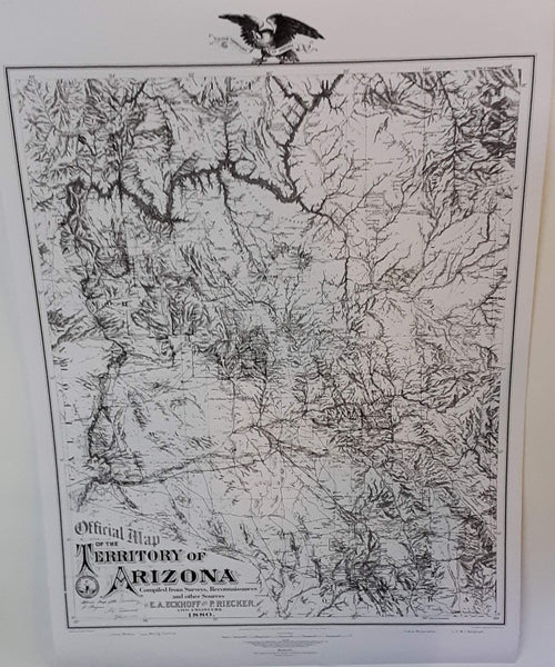
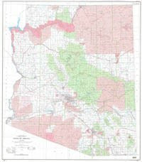
Official Map of the Territory of Arizona 1880 Paper/Non-Laminated [Map] Emil A. Eckhoff and Paul Riecker
$ 27.95
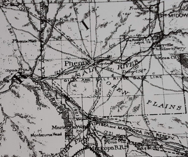
This faithful reproduction of the Arizona Territory in 1880, drawn by civil engineers of the time, shows mining districts and county lines, telegraph lines, and Indian country. A historical reproduction, the original map was created for the Library of Congress and compiled from surveys, reconnaissances, and other sources.
Paper, one-sided wall map.
Size: 30" × 42"

