Adventure iDiaz Maps
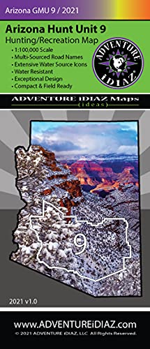
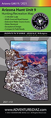
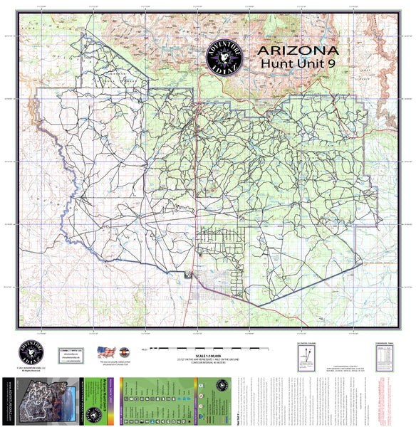
Arizona Hunt Unit 09 Hunting/Recreation Map
Our Arizona Hunt Unit 9 Map Is Packed With Information You Need to Navigate Your Next Arizona Outdoor Adventure.
Whether you're a hunter, fisherman, hiker, biker, camper, skier, all-round outdoors-man, or just love getting out in your 4×4, our Arizona Hunt Unit 9 Map has been made with great passion, excellence, and an eye for beautiful design. A multi-source approach to information gathering ensures rich content on these easy-to-use cartographic images. Our Arizona Hunt Unit Maps, Arizona Off Road Maps, and Arizona Recreation Maps will assist you in planning outdoor recreation and help you create wonderful memories you'll cherish for years to come.
Arizona Hunt Unit 9 (Map) offers a variety of habitats and lies beneath the world’s number one National Park, the Grand Canyon. Heading toward the south, the ponderosa forest breaks into the pinyon and juniper belts along with the rolling hills of the high chaparral. To its east, areas of timber along with chaparral meet with the Navajo Nation, and to its west, there are harbors of deep, beautiful canyon lands such as Cataract Canyon and areas that roam along the Havasupai Nation.
This popular unit lies mainly inside the Kaibab National Forest and contains areas of private, BLM, and State lands. Hunt Unit 9 (Map) offers big game hunting for elk, mule deer, antelope, mountain lion, and turkey, and for many decades it has produced numerous record-class trophy elk and some mule deer. Furthermore, great opportunities for small game are plentiful: bobcat, coyote, fox, cottontail rabbit, squirrel, and more.
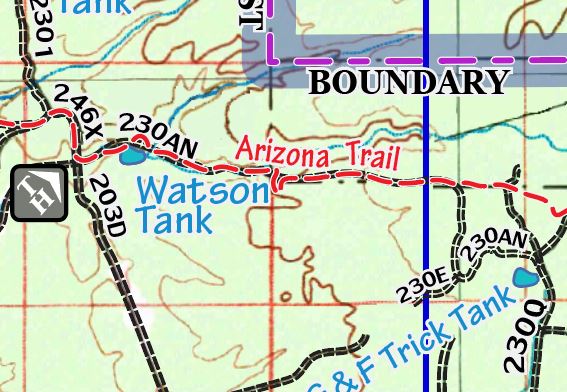
Hiking along the historic Arizona Trail is yet another adventure that Hunt Unit 9 offers. Popular trailheads include Moqui Stage Station, Russell Tank, Grandview, and Greenway. The historic Moqui Stage Station was a main stagecoach hub from Flagstaff taking passengers to Northern Arizona during the territorial days. Today this same trail is part of the Arizona Trail that continues North to Russell Tank which offers fishing opportunities at its lake. From this point, the trail continues north inside the ponderosa belt arriving at the Grandview trailhead. Heading west, this trail segment offers breathtaking views that lead to the Greenway trailhead and eventually Tusayan to the North. As you continue north this trail ultimately ties into the Grand Canyon’s Bright Angel Trail.
Due to the primitive nature of the roads combined with weather conditions, access demands 4×4 off-road vehicles in order to safely venture throughout the unit. Please be mindful that there are numerous reasons why some road restrictions exist within National Forests.
Public lands are subject to leasing and other changes. It is advised to obtain local and forestry information from a Forest Service office or other public land agency. Contact the appropriate land management agency for the most current information.
The publisher has exerted its best efforts to portray, render and compile current information. However, due to recent natural and other degradation, closures, or new additions of roads and trails, or land ownership changes, absolute accuracy cannot be guaranteed. The user must supply the experience, common sense, knowledge, and physical conditioning necessary for safe outdoor travel.
Adventure iDiaz Hunt Unit Maps are a tool supplement and therefore will not be held liable or responsible for any mishaps.
- 1:100,000 Scale - Detailed Topographic Map
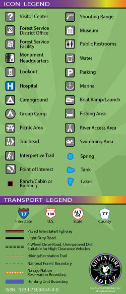
- Multi-Sourced Road Names - Adventure Trails, 4 × 4 and Light Duty Roads
- Water Resistant - Tear Resistant, Durable PolyPropolyn
- Exceptional Design - Beautiful, High Quality Color & Detail
- Compact & Field Ready - Easy To Ready And Follow
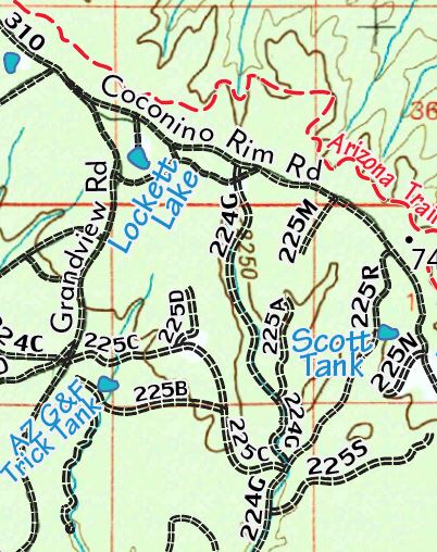
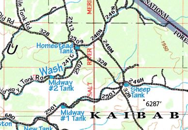
- Extensive Water Source Icons - Clearly Marked Water Tanks & Spring Symbols
- 36" × 37" - Unfolded / 4.50" × 10.25" - Folded
- One-sided, self-cover, plastic folded map
- 62009-idiaz




![Arizona Road and Recreation Atlas [Paperback] Benchmark Maps - Wide World Maps & MORE!](http://maps4u.com/cdn/shop/products/81WodCcaVHL_large.jpg?v=1742587807)

