Wide World Maps & MORE!
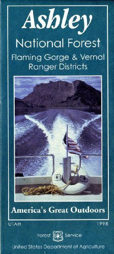
Ashley National Forest Map [Map] USDA Forest Service
Ashley National Forest, located in northeastern Utah and southwestern Wyoming, covers over 1.3 million acres. Within its boundaries are Kings Peak (Utah's highest mountain at 13,538 ft.), Flaming Gorge National Recreation Area, the Flaming Gorge-Uintas Wildlife-through-the-Ages National Scenic Byway, and the High Uintas Wilderness. A great get-away destination for camping, fishing, boating, water sports, hiking, backpacking, biking, horseback riding, off-highway vehicles, over-snow vehicles, cross-country skiing, non-motorized winter sports, and wildlife watching. Elevations range from 6,000 feet to over 13,500 feet.
The map also features descriptions and images of scenic byways and backways, a brief history, areas and points of interest, outdoor activities, safety and health in the forest, care of the forest, how to tread lightly, Flaming Gorge Natural History Association, emergency numbers and office addresses, wildlife through the ages, and signs and symbols.
Also included are a complete legend, index to USGS 7.5’ topographic maps, recreation site index, and contact information for National Forest offices.
Two-sided, self-cover, paper folded map.
Contour Interval = 50m


