United States Department of Agriculture
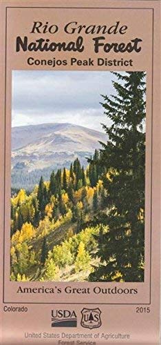
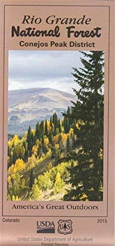
Conejos Peak District Map, Rio Grande National Forest [Unknown Binding] unknown author
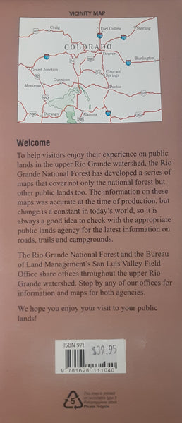
The Conejos Peak Ranger District manages nearly 380,000 acres within the Rio Grande National Forest. The district is located in portions of Conejos, Rio Grande Alamosa and Archuleta Counties. The district is named after Conejos Peak, the tallest mountain completely within the boundaries of the district. At 13,172 feet in elevation, Conejos Peak looms high over Platoro Reservior near the headwaters of the Conejos River. Most of the land managed by the Conejos Peak RD lies within the San Juan Mountains on the southwestern side of the San Luis Valley. The northeastern corner of the district includes a portion of the Sangre de Cristo Mountains and majestic Blanca Peak, which at 14,345 feet in elevation is the fourth highest peak in Colorado.
- Year: 2015
- Scale: 1:84,480
- Topo: No
- Shaded Relief: Yes
- Plastic
- Region: 2
- Two-sided, self-cover, plastic folded map


