
DeLorme Mapping Company
2017 Oregon Atlas & Gazetteer (Used - Very Good)
$ 20.00
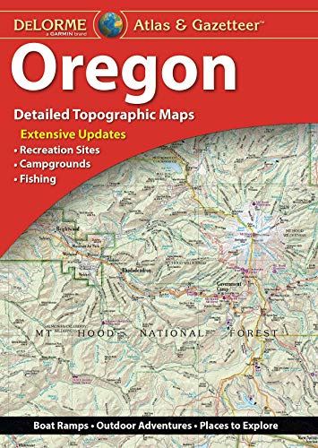
With an incredible wealth of detail, DeLorme's Atlas & Gazetteer is the perfect companion for exploring the Oregon outdoors. Extensively indexed, full-color topographic maps provide information on everything from cities and towns to historic sites, scenic drives, trailheads, boat ramps, and even prime fishing spots. With a total of 72 map pages, the Atlas & Gazetteer is your most comprehensive navigational guide to Oregon's backcountry.
- Full-color topographic maps provide information on everything from cities and towns to historic sites, scenic drives, recreation areas, trailheads, boat ramps, and prime fishing spots.
- Extensively indexed.
- Handy latitude/longitude overlay grid for each map allows you to navigate with GPS.
- Inset maps provided for major cities as well as all state lands
- Product Details: Map of Oregon
- Dimensions: 11" × 15.5".
- Available for all 50 States!
- August 21, 2017.
- Staplebound, 88 pages.