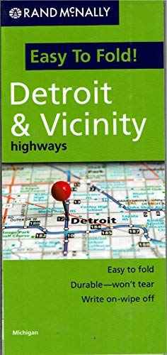
The durable and convenient
Detroit & Vicinity Highways Easy To Fold! regional map will take all the wear and tear your journey can dish out. The heavy-duty laminated design allows you to mark your route, make notes, then wipe the surface clean for further use. This is a must-have for navigation whether you're a regional resident or just passing through.
- Easy to fold means no fumbling
- Heavy-duty lamination allows you to write on, wipe off
- Durable and tear resistant
- Folds to display individual map sections
- Full-color maps with enhanced cartography
- Clearly indicated highways, county boundaries, points of interest, and more
- Quick-reference legend and city index
- Product Details
- Dimensions:
- 9" × 4.25" folded;
- 18" × 17" unfolded.
- Copyright 2009.
 As Seen On TV