No Products in the Cart
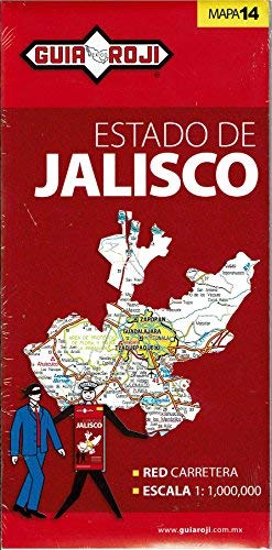
This road and travel map of Jalisco State shows roads from divided highways to minor roads; airports; railways; ports; rivers, lakes, and other physical features; national parks; and natural biosphere reserves. A map of Guadalajara is on the reverse side with an index of cities and populations; plus a table of distances. Jalisco state map has a scale of 1:1,000,000 in Spanish.
 As Seen On TV