No Products in the Cart
Arizona boasts hosting the Grand Canyon, 1 of the most unique landforms on Earth—1 of the 7 Natural Wonders of the World. As 1 of the most popular outdoor vacation spots for tourists & locals, millions of visitors worldwide have made it a favorite destination since it became a National Park in 1919. From rim to rim, the scenery & grandeur that the park offers will lead to unforgettable adventures!
Public lands are subject to leasing & other changes. It is advised to obtain local & forestry info from a Park Service office or other public land agency. Contact the appropriate land management agency for the most current info.
To explore the terrain outside of the traditional tourist areas around the Grand Canyon, a high clearance 4×4 vehicle is mandatory due to primitive roads & weather conditions. Please check the Kaibab National Forest, Grand Canyon National Park Services, & respective Native American Indian Administration(s) for their restrictions before your adventure. Roads open & close without notice. Please observe & respect road signs.
The publisher has exerted its best efforts to portray, render, & compile current info. However, due to recent natural & other degradation, closures, or new additions of roads & trails, or land ownership changes, absolute accuracy cannot be guaranteed. The user must supply the experience, common sense, knowledge, & physical conditioning necessary for safe outdoor travel.
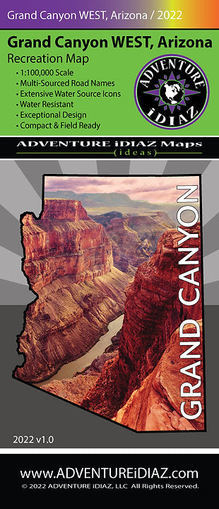
The Grand Canyon West Map covers the areas which are west of Tusayan & Samp Point to the Lone Mountain & Mount Trumbull areas (Colorado River miles 102 through 212). Included in this map are the Mount Logan, Mount Trumbull, & Kanab Creek Wilderness Areas as well as the eastern portion of the Grand Canyon Parashant National Monument & the northern tribal lands of the Havasupai & Hualapai Indian Nation Reservations.
 As Seen On TV