Wide World Maps & MORE!
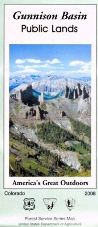
Gunnison Basin Public Lands (America's Great Outdoors) [Map] Gunnison National Forest
The Gunnison Basin contains portions of six wilderness areas, a ski resort, a National Recreation Area, and more than five million acres of public lands; over 80% of the Upper Gunnison watershed is public lands.
The Gunnison National Forest was established by proclamation of President Theodore Roosevelt on May 12, 1905. It was named in honor of Captain John Gunnison, who came to this area in 1853 in search of a feasible railroad route across the Continental Divide. The Gunnison National Forest was administratively combined with the Grand Mesa and Uncompahgre National Forests in 1976. The Forest Supervisor's office for the combined Forests is in Delta, Colorado.
The map also features descriptions and images of points of interest, the Colorado Trail and Continental Divide National Scenic Trail, wilderness areas, Gunnison National Forest, Bureau of Land Management Gunnison Field Office Area, National Park Service Curecanti National Recreation Area, National Park Service Black Canyon of the Gunnison National Park, Colorado State Division of Wildlife Gunnison Area, TREAD Lightly pledge, Leave No Trace skills and ethics, scenic and historic byways, weed free closures, archaeological and historical heritage protection, and Gunnison Basin Public Lands travel management rules, regulations, definitions, and signs.
Also included are a complete legend, index to USGS 7.5' topographic maps, restricted travel area matrix, and recreation site index.
Two-sided, self-cover, waterproof folded map.
Size: 4" × 9" folded; 48" × 36" unfolded


