No Products in the Cart

 Everything is Somewhere
Everything is Somewhere
Everything is Somewhere
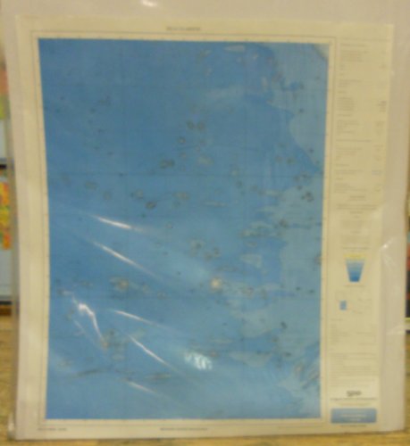
This map is part five of a 1:1M-scale series of bathymetric maps that covers the oceanic regions adjacent to Mexico. Relief is shown by contours and spot heights. Depths are shown by contours, gradient tints, and soundings. It includes an index map showing it in relation to the other maps in the series.
Earlier sheets were prepared and published by Dirección General de Geografía del Territorio Nacional, Coordinación General de los Servicios Nacionales de Estadística, Geografía, e Informática, Secretaría de Programación y Presupuesto.
Paper, one-sided wall map.
Scale = 1:1,000,000
Size = 35" x 41"
 As Seen On TV