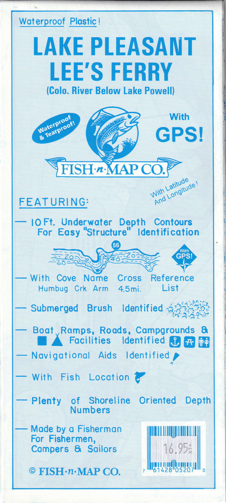
Lake Pleasant / Lee’s Ferry (Colorado River below Lake Powell) features
- 10 foot underwater depth contours
- Latitude and longitude grids
- Over 100 GPS Coordinates Identified
- GPS Quick Scaler
- Suggested fishing locations shown throughout chart
- Boat ramp, road, and marina locations shown
- Waterproof and Tear-resistant plastic, folds to 9”×4”, unfolds to 3’×2’, 2-sided chart
- Made by a Fisherman for Fisherman and Other Water Enthusiasts
- Fishing Map Features
- Contours: 10'
- Scale: 1:16,000 / 1:24,360
- GPS Data: Yes
- Water Type: Fresh
- Region/State(s): Arizona
- UPC: 761428 052070
 As Seen On TV