Wide World Maps & MORE!
McDowell Mountain Regional Park (Gloss Laminated) [Map]
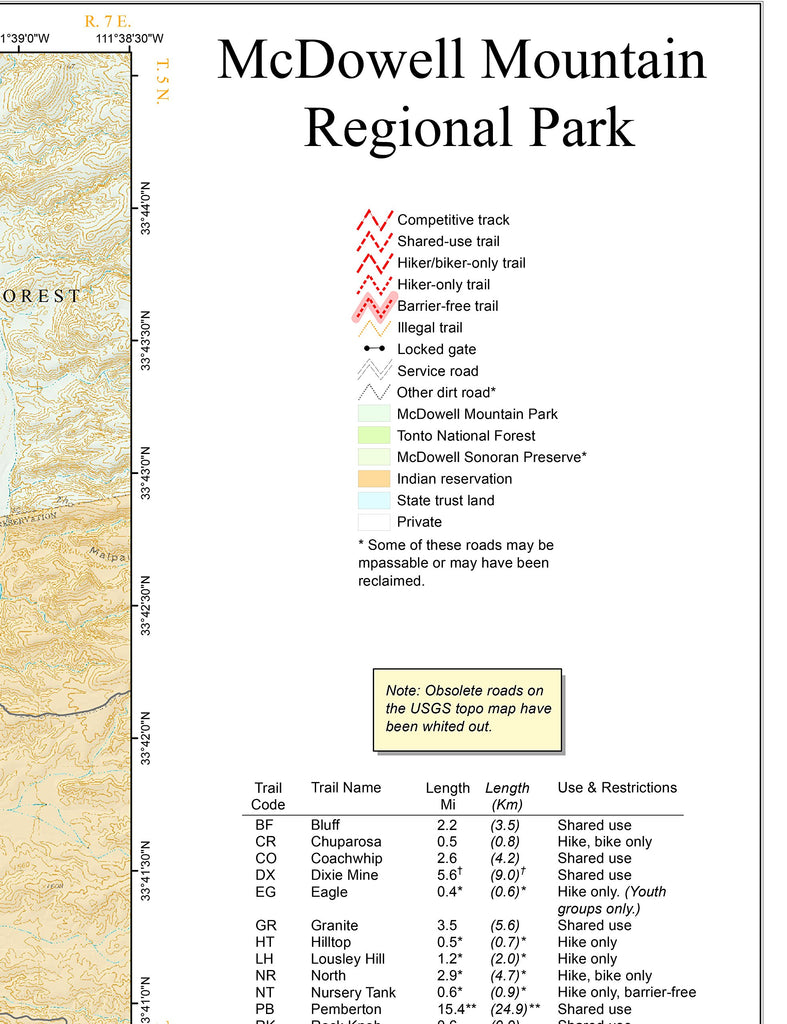
- Topographic trail map with competitive tracks, shared-use trails, hiker and biker only trails, hiker only trails, barrier-free trails, illegal trails, service roads, and other dirt roads which may be impassable or have even been reclaimed.
As the official map of the McDowell Mountain Regional Park, this trail map is designed for administrative use only. Starting with USGS topographic data, Maricopa County Parks and Recreation has whited out all obsolete roads and differentiated between competitive tracks, shared-use trails, hiker and biker only trails, hiker only trails, barrier-free trails, illegal trails, service roads, and other dirt roads which may be impassable or have even been reclaimed. The map also shows locked gates, point-to-point distances in miles and kilometers, and GPS coordinates for select trail intersections, helicopter landing sites, gates, and other boundary points. Color tints differentiate between McDowell Mountain Park, Tonto National Forest, McDowell Sonoran Preserve, Fort McDowell Yavapai Nation, state trust land, and private land.
Gloss laminated, self-cover, one-sided folded map.
Size:
- Folded = 9.25" x 12"
- Unfolded = 28" x 18-1/2"


