Wide World Maps & MORE!
Metropolitan Phoenix Arterial Streets Notebook Map - 50 Count [Map] Phoenix Mapping Service
$ 29.00
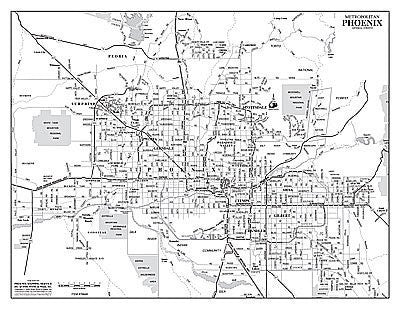
This notebook map is the map you need to present the entire Phoenix metropolitan area at-a-glance. It shows highways and major (arterial) streets with community names, Native American communities, national forests, rivers, lakes, and airports clearly labeled. The black and white image allows you to add your own colors for locations, areas, and zones. This notebook map is clear enough to read but small enough for easy storage or travel.
The map is a convenient and useful at-a-glance reference ready for highlighters, sticker dots or arrows, or graphic tape.
50 Count Paper.
Size: 11" x 8.5"


![Arizona Road and Recreation Atlas [Paperback] Benchmark Maps - Wide World Maps & MORE!](http://maps4u.com/cdn/shop/products/81WodCcaVHL_large.jpg?v=1742587807)

