Wide World Maps & MORE!
Mohave County Cities Wall Map w/ZIP Codes [Map] Doug Minnis and Wide World Maps & MORE!
The Mohave County Cities Wall Map w/ZIP Codes features the interstate, US highway, states highway, and arterial (major streets). It also shows the unlabeled outlines of the collector (intermediate) and residential (minor) street network. The map is composed of three insets which include the Bullhead City area (including Fort Mohave and Mohave Valley), Kingman, and Lake Havasu City.
In addition, this map has the latest city limits, ZIP codes and their boundaries, and local information -- including national and state recreation areas, generating stations, unincorporated communities, Native American communities, airports and airparks, high schools, community colleges, lakes, rivers, washes, dams, et cetera.
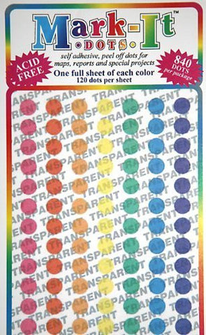
This attractive map is a must have for dispatch centers, marketing, distribution, customer service, and other office uses, and works great with highlighters, sticker dots, or graphic tape.
Paper, one-sided wall map.
Size: 33" x 36"


