Warren Associates
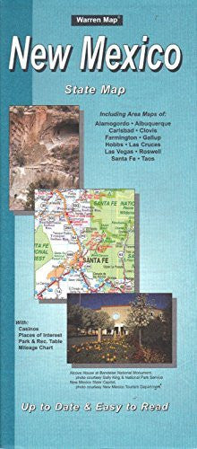
New Mexico State Map [Map] Warren Maps
$ 5.99
Warren Maps' New Mexico State Map is an up-to-date and easy-to-read map of the interstate and highway system for New Mexico, USA. The obverse features the State of New Mexico map along with indicies for counties, cities and communities, places of interest, and federal recreation areas with camping. It also features a mileage chart for the major cities of NM and a table of selected state and national parks and recreation areas. The reverse includes insets of central Albuquerque; Albuquerque; Santa Fe; Alamogordo; Roswell: Famington, Aztec, and Bloomfield; Carlsbad; Hobbs; Gallup; and Las Cruces. Two-sided, self cover, paper folded map. Size: - Folded = 4" x 9½"
48058


![Arizona Road and Recreation Atlas [Paperback] Benchmark Maps - Wide World Maps & MORE!](http://maps4u.com/cdn/shop/products/81WodCcaVHL_large.jpg?v=1742587807)
