No Products in the Cart
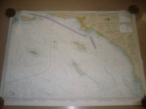
New rolled (not folded) official ocean navigational chart Number 18740 Published by U.S Department of Commerce in 2007 this map shows the San Diego to Santa Rosa Island. Soundings are in fathoms. When unrolled the chart measures approximately 37 x 54. This chart may be out of date for actual navigation use, but would make a great reference for other uses. Nice decorative item for home or office too!
 As Seen On TV