No Products in the Cart
The tenth edition of Hema’s Queensland State Map features Hema’s distinctive and informative maps fully, all of which have been field-checked by Hema’s Map Patrol to ensure the best possible accuracy with the latest mapping data.
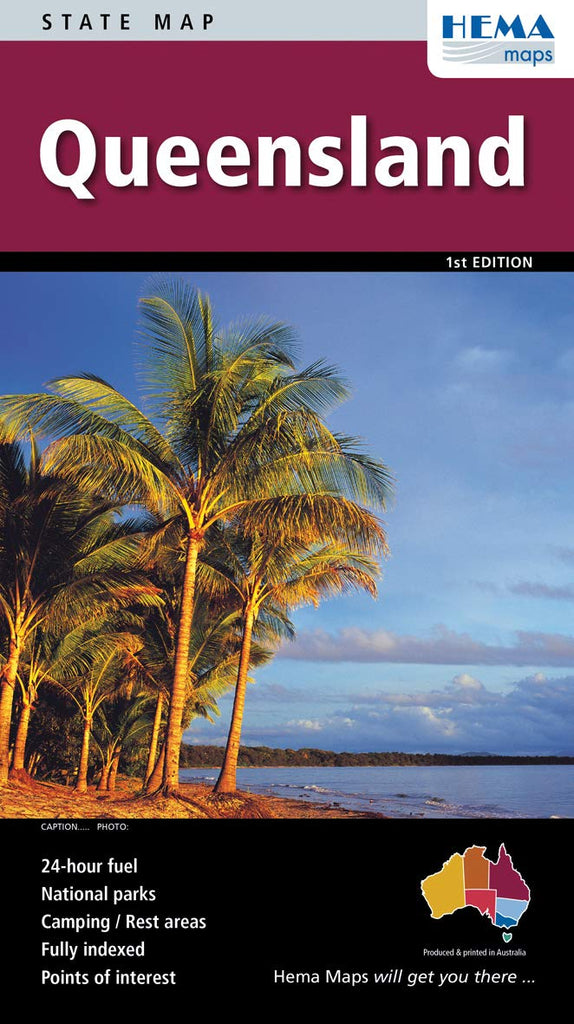
A fully indexed state map of Queensland (QLD) at a scale of 1:2,500,000. Marked on the mapping are national parks, fuel locations, camping, and rest areas.
The reverse side consists of:
Queensland is located off the northeast corner of mainland Australia. It is Australia's 'sunshine state' for its tropical and sub-tropical climates. Queensland is a tourism mecca with many attractions including, the Great Barrier Reef, Gold Coast, Sunshine Coast, Cape York, and Outback Queensland.
Key Features
Key Specifications
 As Seen On TV