Wide World Maps & MORE!
Southwest Valley: Avondale, Buckeye, Goodyear, Tolleson, Litchfield Park, & Surrounding Areas [Map] Phoenix Mapping Service
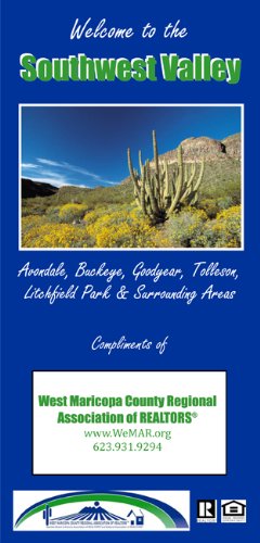
Southwest Valley: Avondale, Buckeye, Goodyear, Tolleson, Litchfield Park, & Surrounding Areas is a folded street map of the southwestern metropolitan area of Phoenix, Arizona, USA. The obverse features full street detail of Sun City Festival, Tartesso, Verrado, Estrella, Cashion, Luke Air Force Base, and surrounding areas in Buckeye, Goodyear, Avondale, Tolleson, Gila River Indian Community, Phoenix, Glendale, Litchfield Park, and unincorporated Maricopa County. It also features a complete street index, organized by community.
The reverse features a general reference street map of the greater West Valley, including everything west of Black Canyon Freeway (I-17) and north of Lower Buckeye Road. It also features complete street detail insets of Wickenburg and Wittmann.
The maps include cemeteries, colleges & universities, desert parks & preserves, green parks, dry river channels, lakes, post offices, libraries, municipal buildings, county buildings, golf courses, major institutions, military installations, shopping centers, sports facilities & attractions, police stations, high schools, elementary and junior high schools, fire stations, hospitals, and address numbers.
Two-sided, self-cover, paper folded map.
Size: 4.375" x 9" folded; 35.875" x 28.875" unfolded


![Arizona Road and Recreation Atlas [Paperback] Benchmark Maps - Wide World Maps & MORE!](http://maps4u.com/cdn/shop/products/81WodCcaVHL_large.jpg?v=1742587807)

