No Products in the Cart
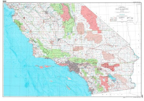
USGS's State of California Base Map with Highways (South Half) is a political, road, and bathymetric map all-in-one!
Paper, one-sided wall map.
Scale = 1:500k
Contour Interval = 100-fathom bathymetric
Horizontal Datum = North American 1927
Vertical Datum = National Geodetic 1929
Datum = Mean Lower Low Water
Size = 63" x 44"
 As Seen On TV