Wide World Maps & MORE!
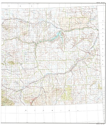
State of Montana East Half Base Map with Highways and Contours [Map] United States Geological Survey and United States Department of the Interior Geological Survey
$ 45.95
USGS's State of Montana East Half Base Map with Highways and Contours is a political, road, and topographic map all-in-one! Paper, one-sided wall map. Projection = Lambert conformal conic based on standard parallels 33° and 45° Scale = 1:500,000 Contour Interval = 500' topographic UTM Zones = 11, 12, & 13 Horizontal Datum = North American 1927 Vertical Datum = National Geodetic 1929 Size = 46" x 46"
TMT1503


![Arizona Road and Recreation Atlas [Paperback] Benchmark Maps - Wide World Maps & MORE!](http://maps4u.com/cdn/shop/products/81WodCcaVHL_large.jpg?v=1742587807)
