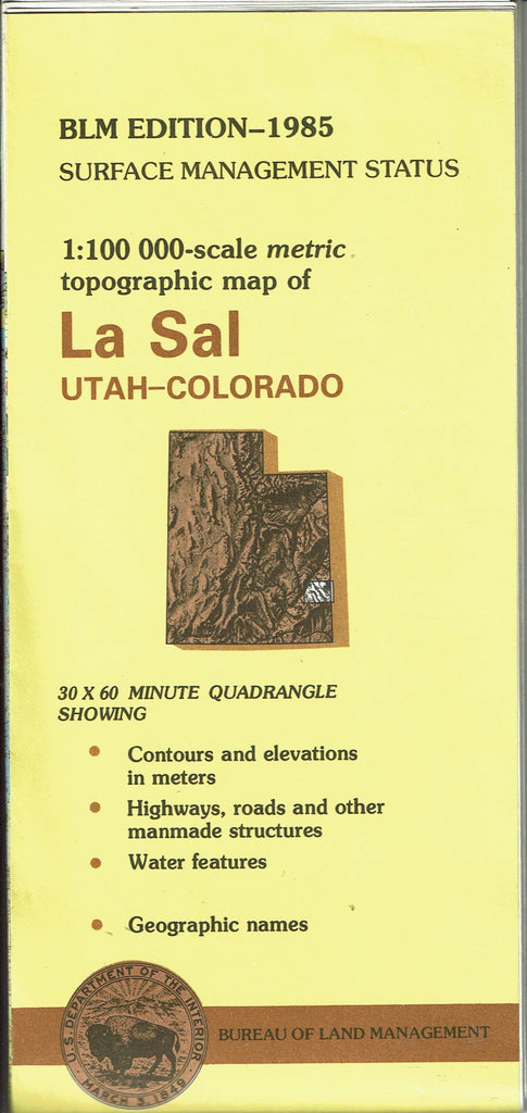
USDI BLM Surface Management 1:100,000-Scale Metric Topographic Map of La Sal, Utah-Colorado is a 60×30-Minute Quadrangle Showing
- Contours and elevations in meters
- Highways, roads, and other manmade structures
- Water features
- Geographic names
One-sided, self-cover, paper/non-laminated folded map
- Product Details
- Product Number: 103109
- Scale: 1:100,000
- Alternate ID: TUT1588
- ISBN: 978-0-6078-5134-2
- Authors: BLM
- Version Date: 01/12/1982
- Regions: CO, UT
- Countries: USA
- Media: Paper
- Format: Folded
- Additional Details
- Description: Surface Management Map
- Survey Date: 1978
- Print Date: 1985
- Height In Inches: 27.000
- Length In Inches: 40.000
- Boundary Type: Quadrangle
- Two-Sided: No
- Pieces: 1
- Languages: English
 As Seen On TV