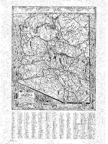
Arizona Mapping Service
The Harriet F. Cobb Relief Map of the State of Arizona Paper, Non-Laminated
$ 18.95
This faithful reproduction of the State of Arizona in 1939, originally drawn in 1937 and revised in 1939, shows county lines, mountains, rivers, railways, U.S. highways, state highways, county and other roads, national monuments, and places of interest. A historical reproduction, the original map was created for the Arizona Mapping Service.
- Paper, one-sided wall map.
- Size: 24" × 32".
- Harriett F. Cobb and P. T. Reeve.


![Arizona Road and Recreation Atlas [Paperback] Benchmark Maps - Wide World Maps & MORE!](http://maps4u.com/cdn/shop/products/81WodCcaVHL_large.jpg?v=1742587807)

