- Year - 1992
- Scale - 1/2" to the Mile
- Topo Lines - No
- Paper
- Region 4
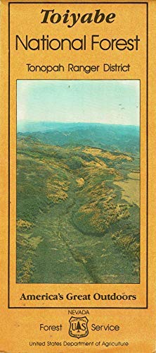
The Toiyabe Mountain range is a 125-mile "spinelike" range with 50 miles of it rising above 10,000 feet. Extending from Cottonwood Canyon in the south to 6 miles north of Austin, Nevada, this rugged range has limited access due to its terrain. The west side rises gradually from a well traveled dirt road which winds through Reese River Valley. The east side rises sharply from Big Smoky Valley and is dissected with numerous rocky canyons. Arc Dome, Nevada's largest wilderness (115,000 acres) lies within this mountain range.
 As Seen On TV