No Products in the Cart
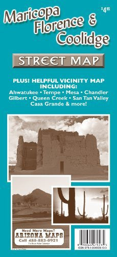
Phoenix Mapping Service Maricopa, Florence, & Coolidge Street Map Plus! Helpful Vicinity Map Including: Ahwatukee, Tempe, Mesa, Chandler, Gilbert, Queen Creek, San Tan Valley, Casa Grande, & MORE! is a full street detail map of all three cities in Pinal County, Arizona, USA. The obverse features a complete street detail map of the city of Maricopa, a comprehensive street index for the city of Maricopa, an arterial (major) streets vicinity map of the entire northern Pinal County and southeastern Maricopa County area, and a short history for each city: Maricopa, Florence, and Coolidge.
The reverse features the map legend, a complete street detail map of the cities of Coolidge & Florence, and a comprehensive street index for the cities of Florence & Coolidge. The legend showcases cemeteries, colleges & universities, desert parks, green parks, golf courses, indigenous nations, military installations, sports facilities, shopping centers, Interstate highways, U.S. highways, state highways, exit numbers, streams & washes, dry river channels, major canals, lakes, undeveloped streets, post offices, libraries, municipal buildings, county buildings, hospitals, high schools, elementary & junior high schools, fire stations, and points of interest.
Paper, self-cover, two-sided folding map.
Size:
* Folded = 4.25" x 9"
* Unfolded = 18" x 28.25"
 As Seen On TV