Arizona Mapping Service
The Harriet F. Cobb Relief Map of the State of Arizona Dry Erase Laminated
$ 32.98
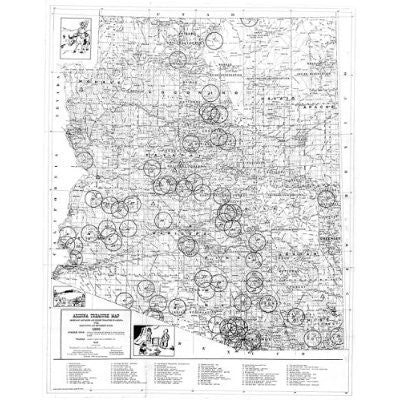
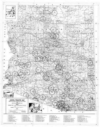
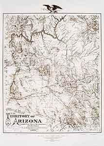
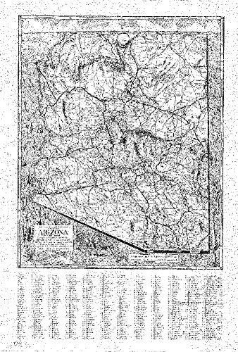
This faithful reproduction of the State of Arizona in 1939, originally drawn in 1937 and revised in 1939, shows county lines, mountains, rivers, railways, U.S. highways, state highways, county and other roads, national monuments, and places of interest. A historical reproduction, the original map was created for the Arizona Mapping Service.
Dry-Erase Lamination is a specialty laminate that allows for dry-erase markers to be used on the finished print and erased as desired.
- Dry erase laminated paper, one-sided wall map.
- Size: 24" × 32".
- Harriett F. Cobb and P. T. Reeve.

