No Products in the Cart
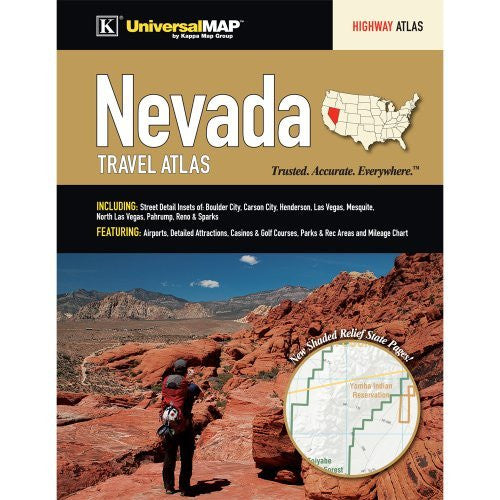
The Nevada State Travel Atlas is a full-color regional atlas, including Street Detail Insets of: Boulder City, Carson City, Henderson, Las Vegas, Mesquite, North Las Vegas, Pahrump, Reno & Sparks; and features: Airports, Detailed Attractions, Casinos & Golf Courses, Parks & Recreation Areas, Mileage Chart, and Shaded Relief State pages.
 As Seen On TV