No Products in the Cart
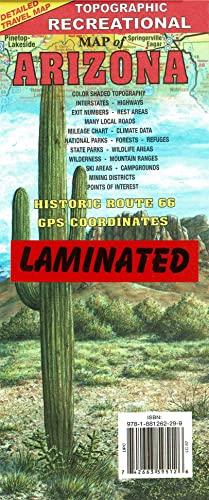
This detailed travel map features Interstates, exit numbers, highways, and more local roads than typical road maps. U.S. Route 66 is highlighted. Topographic contours cover every 1,000 feet and are color-shaded every 2,000 feet above 4,000 feet. Features of the map include national forests, wildernesses, campgrounds, parks, state wildlife areas, ski areas, mining districts, points of interest, and more.
Dry Erase Lamination is specialty laminate that allows for dry erase markers to be used on the finished print and erased as desired. The dry erase lamination makes this map a convenient and useful detailed reference ready for wet or dry erase markers, sticker dots or sticker arrows, and graphic tape.
 As Seen On TV