No Products in the Cart
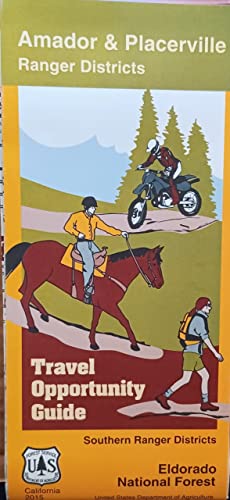
The Eldorado Travel Opportunity Guide highlights roads and trails for passenger vehicles, Off Highway Vehicles, motorcyclists, bicyclists, equestrians and hikers visiting the Amador & Placerville Ranger Districts of the Eldorado National Forest. The map also shows land ownership, National Forest boundaries, Wilderness boundaries, contours, and other geographic features. The scale of the map is 1:63,360 (1 inch : 1 mile). Panel title: Amador & Placerville ranger districts, travel opportunity guide, southern ranger districts, Eldorado National Forest, California Relief shown by contours, shading, and spot heights. Includes notes, vehicle and trail information, and location map. Text, map of "Elkins Flat-Gold Note, Amador and Placerville ranger districts," coverage map, regulations, safety tips, travel and route information, area map, and color illustrations on verso.
 As Seen On TV