No Products in the Cart
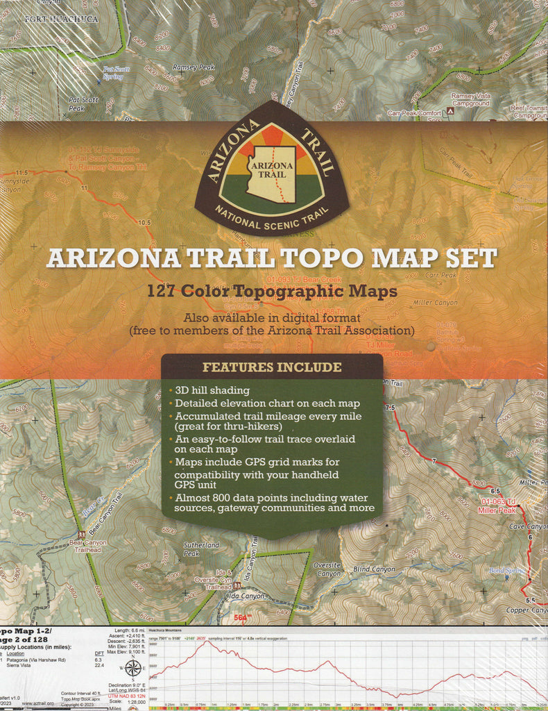
172 Detailed Color Topographic Maps of the entire Arizona Trail. 3D Hill shading, Elevation chart on each map, Accumulated trail mileage every mile, (great for thur hikers). An easy to follow trail trace overlayed on each map, Maps include GPS grid marks for compatability with your handheld GPS units. Nearly 800 data points including water sources, gateway communities and more. These maps are professionally printed double-sided on 8.5 x 11 quality paper in full-color and high-resolution – much better than most people could do on their home printers
 As Seen On TV