No Products in the Cart
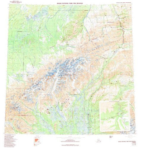
USGS's Denali National Park and Preserve, Alaska is a political, road, topographic, and recreation map all-in-one!
Paper, one-sided wall map.
Scale = 1:250k
Projection = UTM Zone 5 Horizontal Datum = North American 1927
Vertical Datum = National Geodetic 1929
Contour Interval = 200' topographic
Intermediate Contour Interval = 100' topographic
Size = 40" x 44"
 As Seen On TV