No Products in the Cart
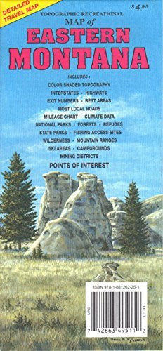
GTR Mapping Topographic Recreational Map of Eastern Montana color shaded topography, interstates, highways, exit numbers, rest areas, most local roads, mileage chart, climate data, national parks, forests, refuges, state parks, fishing access sites, wilderness, mountain ranges, ski areas, campgrounds, mining districts, and points of interest.
 As Seen On TV