No Products in the Cart
USGS US Topo 7.5 - minute quadrangle map
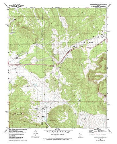
Long Name: Fort Rock Ranch, Arizona Historical Map 7.5'x7.5' Grid 24000-Scale 1980
Scale: 1:24,000
Content: Contours
Alternate ID: TAZ0504
ISBN: 978-0-607-06576-3
Version Date: 1980
Regions: AZ
Nations: USA
Latitude: 35° 7′ 30″ N to 35° 15′ 0″ N
Longitude: 113° 22′ 30″ W to 113° 15′ 0″ W
Media: Paper
Format: Flat
Description: Fort Rock Ranch, AZ
Survey Date: 1980
Print Date: 1985
Height In Inches: 26.800
Width In Inches: 22.010
Boundary Type: Quadrangle
Two Sided: No
Plates: 1
Pieces: 1
Languages: English
 As Seen On TV