No Products in the Cart
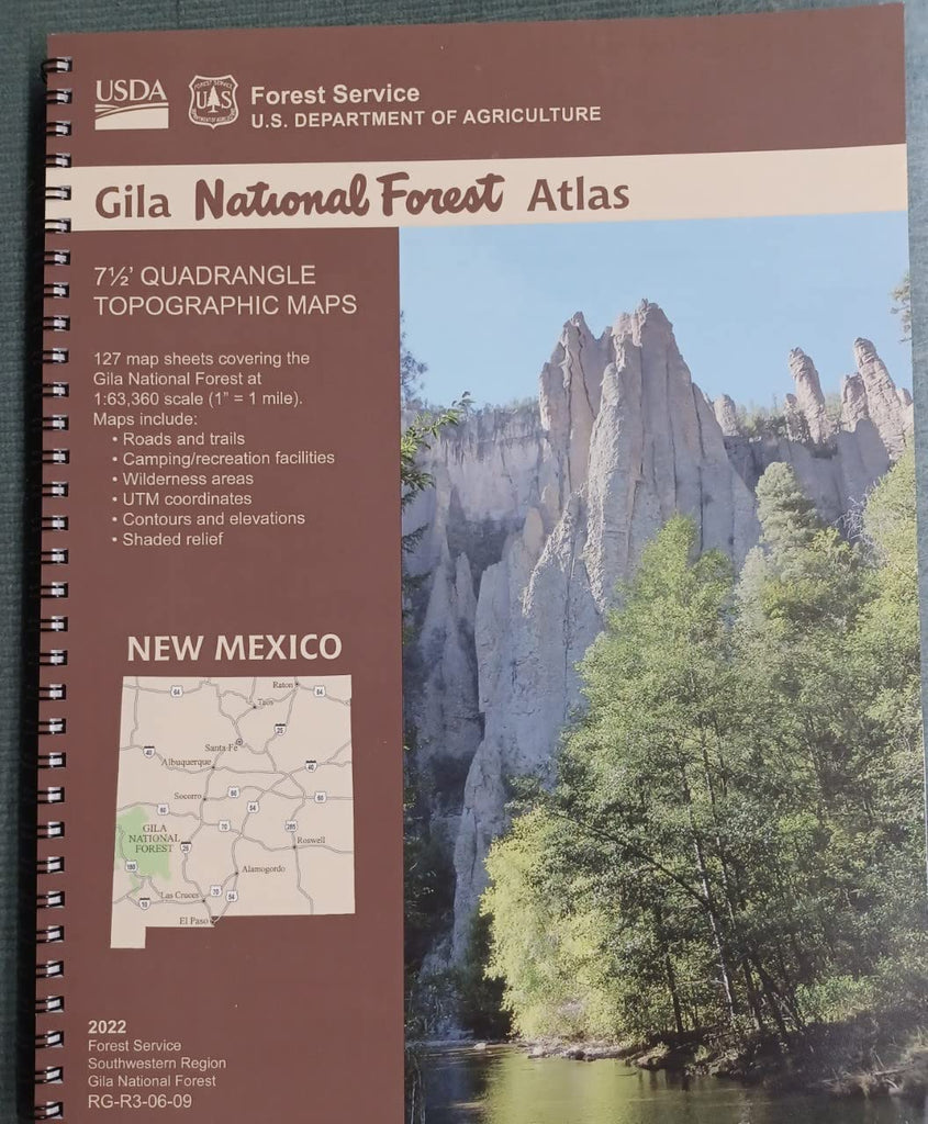
127 map sheets — each a 7.5-minute × 7.5-minute quadrangle topographical map — that together cover the entire Gila National Forest in New Mexico as well as the New Mexico portion of Apache National Forest with their roads, trails, camping facilities, wilderness areas, UTM coordinates, contour and spot elevations, shaded relief, and more.
 As Seen On TV